
Tracing a Wildomar Street Address
A reliable Wildomar street directory starts with a parcel, not a person. Enter the address in the Riverside County Property Search, save the assessment number, and carry that key into the county map and recorder systems. The assessor's public search supports an address or APN, but it does not provide an unrestricted owner-name directory. That distinction keeps the first step tied to land rather than to a guess about who lives there.
- Run the street address through the assessor search. Record the APN, situs address, legal description, property characteristics, and any public mailing destination.
- Open the same address or APN in Riverside County Map My County. Turn on parcel boundaries and click the subject parcel and nearby polygons.
- Use an identified deed party, document number, or legal description in the ACR recorder search. A street string alone is not a dependable deed-index key.
- Check Wildomar permit folders for work recorded from the city's incorporation date forward. Route older construction records to Riverside County.
- Use a reverse or criss-cross directory only after the library confirms that a volume covers Wildomar or a nearby historical locality. Treat it as an occupant clue, not a current roll.
The chain moves from place to document, then from document to a person clue. A deed party may be an owner, lender, trustee, or transfer participant. A permit applicant or contractor may never have lived at the address. Each conclusion becomes stronger when the APN, legal description, date, and source agree.
Wildomar Street Records by Address
Address-keyed records in Wildomar sit across several custodians. The Riverside County Assessor-County Clerk-Recorder supplies parcel and recorded-instrument channels, Map My County supplies spatial context, and the city supplies a street-filed permit layer after incorporation. The voter system is different: it lets a person check their own status, while broader voter-file access is limited by California law.
| Record set | Keeper | What it shows | Access |
|---|---|---|---|
| Assessment record | Riverside ACR Assessor | APN, situs, legal description, values, characteristics, mailing destination when public | Free address or APN search |
| Parcel geometry | Map My County | Boundaries, adjacent lots, jurisdiction, districts, planning and environmental layers | Free GIS viewer |
| Deeds and liens | ACR Recorder | Grantor and grantee, date, document type, number, legal description | Web index from 1974; office and Gateway fallback |
| Wildomar permits | City Online Records Library and Building & Safety | Permit type, project dates, owner, applicant, contractor | Street folders from July 1, 2008 |
| Pre-city permits | Riverside County planning and building records | Earlier construction and improvement files | Request by address or APN |
| Voter record | California Secretary of State and Riverside Registrar | Self-status and, for approved recipients, limited voter-file fields | Identity-gated self-lookup; no public street browse |
The APN is the bridge between the first two rows and much of the deed and permit work. The street name helps find the city's folders, while the legal description can keep a parcel trace intact when a postal number or road label changes. No single row is a complete list of current occupants.
Riverside Assessor Search Fields
The Riverside ACR assessor form is designed around a property key. Start with the street number and name, normalize direction and suffix, and add Wildomar and the ZIP when the form offers those fields. The strongest exact match is the hyphenated APN. An owner-name field is not available to the general public, so a name-first promise would send a street directory search in the wrong direction.
| Property Address | Street number and name, with direction and suffix normalized; locality and ZIP may narrow the result. |
|---|---|
| Assessment Number or APN | Hyphenated county parcel identifier and the safest exact bridge to map and deed work. |
| Map, Page, Parcel | Alternate parcel entry when an APN is known in map and page form. |
| Search or Reset | Controls that send the address or parcel entry to an assessment detail result. |
| Owner Name | Unavailable as an unrestricted public search field. Use a lawful deed or custodian route instead. |
A parcel result can include the APN, property or situs address, subdivision reference, assessed land and improvement values, tax-rate area, property type, and published characteristics. Sale or transfer facts shown in an assessor view do not replace the recorder's instrument. The Riverside County Treasurer-Tax Collector portal can help with tax bill or payment status, but a tax obligation is not proof of who lives at a parcel.
The Riverside County Treasurer-Tax Collector portal supplies a separate tax channel. Keep its address and payment context beside parcel facts, not in place of them.
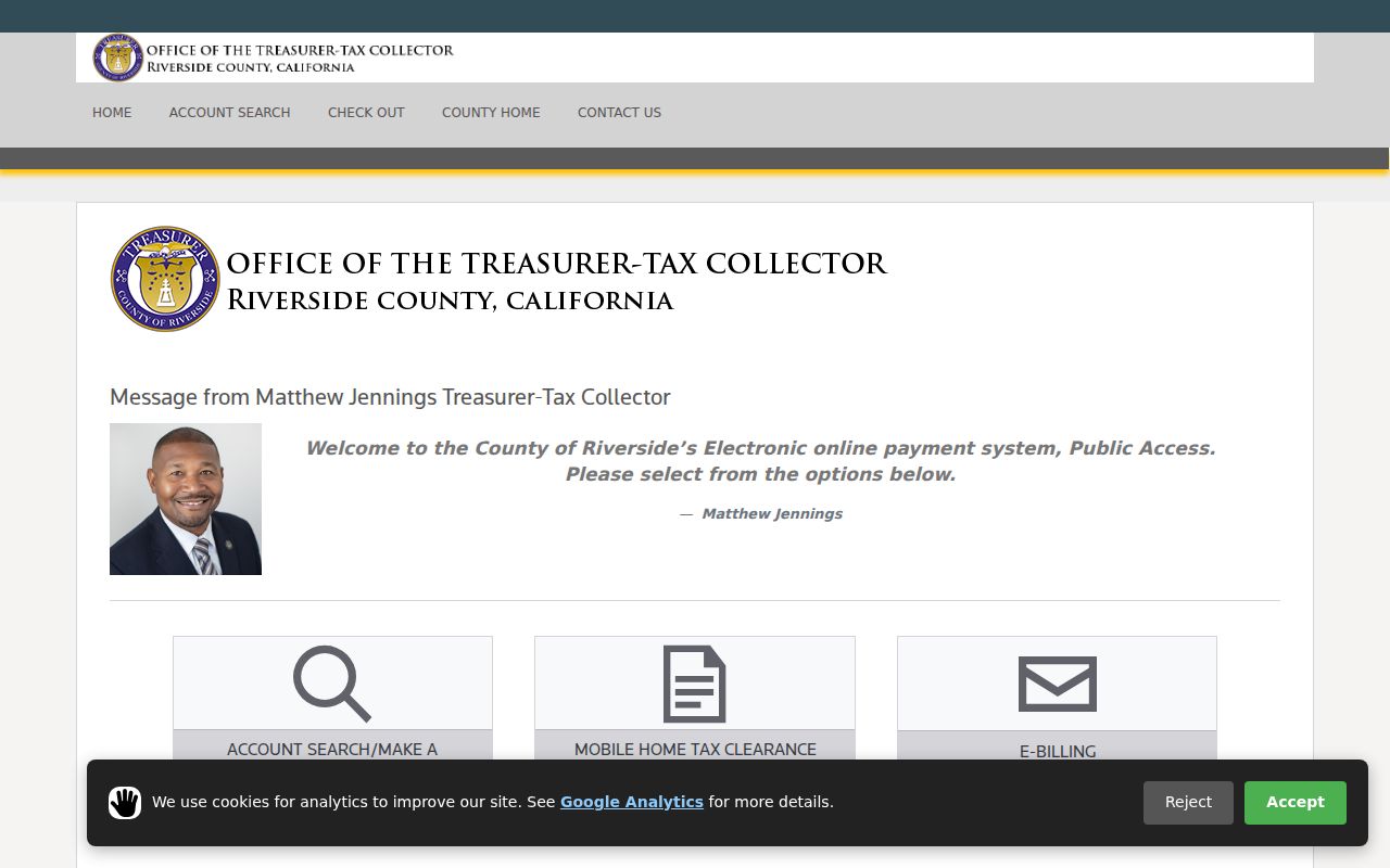
This Wildomar street directory image shows the county tax channel as a separate lookup surface. Use the APN and fiscal year for a precise tax question, then return to the assessor or recorder for property identity and title evidence.
Situs, Mailing, Legal: Three Address Identities
Address fields do not all describe the same thing. Situs locates the land, mailing directs assessment correspondence, and the legal description identifies the parcel through a subdivision, lot and block, or another land description. Comparing them is a useful Wildomar street directory check, but none alone proves occupancy.
| Situs address | The physical location assigned to the parcel and used to place it on a map. |
|---|---|
| Mailing address | The destination for tax or assessment correspondence, which may be elsewhere. |
| Legal description | The recorded land identity that can survive some street-name or number changes. |
| APN | The county assessment key that links the parcel search, GIS shape, and later deed work. |
- Parcel
- A mapped unit of land identified for assessment; one street address can relate to more than one parcel, and one parcel can have complex frontage.
- Situs address
- The physical address assigned to the land, not the destination where a tax notice is sent.
- Plat
- A recorded map that lays out lots, blocks, streets, and subdivision geometry.
- Criss-cross directory
- A reverse directory arranged by street address rather than only by surname, if a verified volume includes the locality.
A matching situs and mailing address can support a possible owner-occupancy theory, but it is not conclusive. A different mailing destination can reflect a trust, business, absentee owner, or another arrangement without identifying a household member.
Map My County Block Walk
Map My County is the spatial part of a Wildomar street directory. Search by address or APN, zoom to the parcel, and use Identify to open the selected feature. The viewer can expose parcel outlines, address points and house numbers, roads, boundaries, zoning, districts, annexations, ZIP areas, recorded maps, and environmental layers. Those layers are context, not a survey.
For an adjacent-parcel walk, turn on parcel boundaries, click the subject, then click shared-edge or nearby polygons on both sides. Pan at a consistent scale and save APNs, not guessed house numbers; a corner parcel may front another street. Measure shows distance or area, not a verified resident-radius report. Cross APNs to assessor details, then recorder parties when ownership history matters.
Print or share the map when a jurisdiction question matters, but keep the assessment record as the controlling parcel source. Boundaries, annexation layers, and ZIP layers help explain why a postal label, planning office, and physical street may not line up.
Wildomar Permit Folders by Street
Wildomar has an unusually useful filing quirk: permit folders in the city's online records library are alphabetized by street name. The Wildomar Building & Safety Department handles plan review, inspections, and building, electrical, plumbing, and mechanical permits. Current applications are electronic, and the department says applications are not accepted at the counter.
The street folders begin July 1, 2008, the incorporation date. Older files go to Riverside County planning and building records at 951-955-2017, planningrecords@rivco.org, or buildingrecords@rivco.org. A city public-record request can give the property address, date range, and delivery choice. The clerk may take up to 10 days to determine availability, not promise delivery; the city need not create a record or release exempt material.
The Wildomar Building & Safety Department page captures the municipal channel that makes a street-by-street search practical.
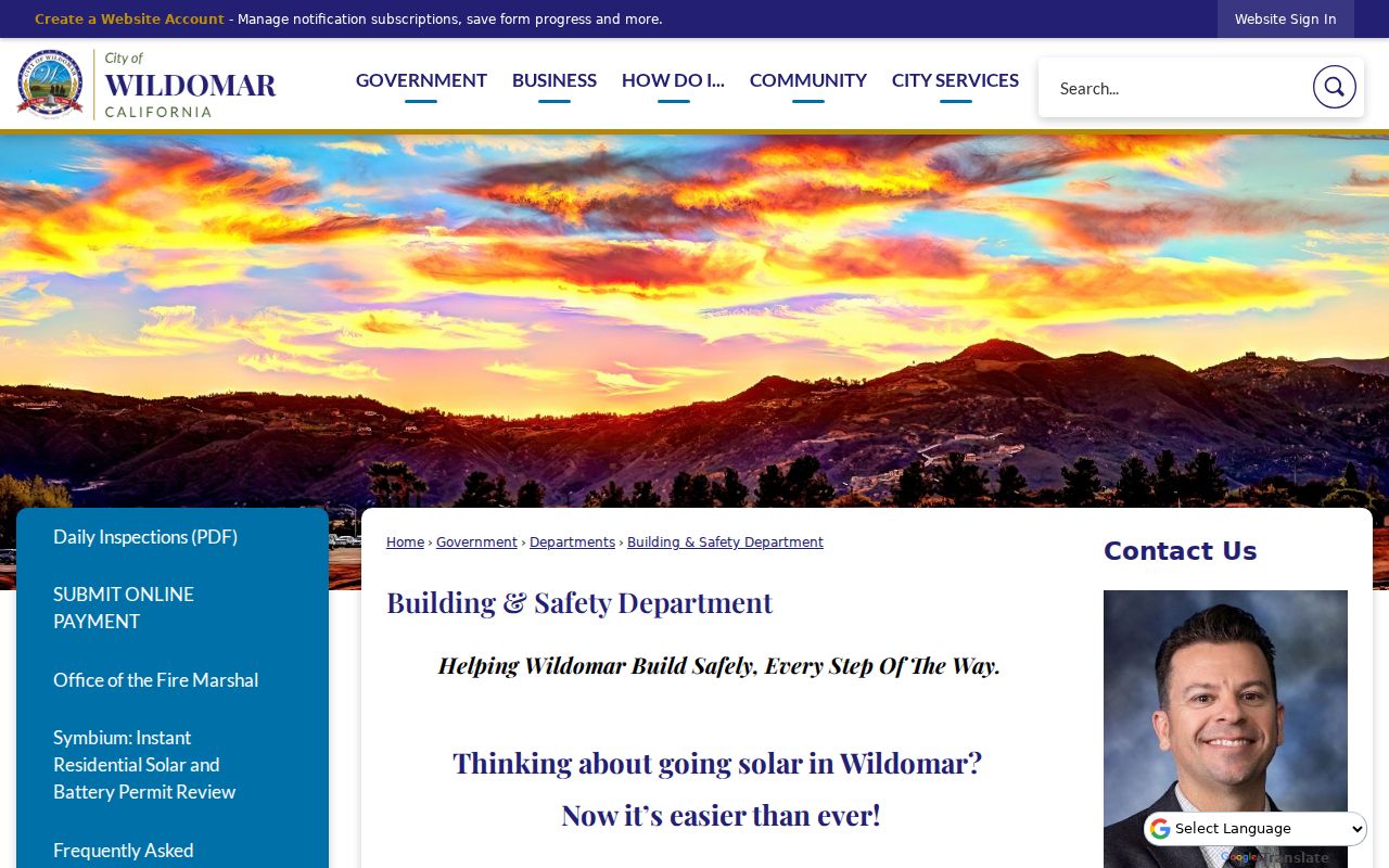
Permit records can show project dates, owner, applicant, contractor, and work type. They are evidence of a project, not proof that any named participant lived at the address. Pair a permit with the APN and recorded deed dates before drawing a household conclusion.
The 1974 Wildomar Recorder Seam
Riverside ACR's recorder index is a key time boundary for the Wildomar street directory. The public index states that recorder documents run from January 1, 1974, while clerk documents are indexed from January 1, 1893. A separate copy page describes public-service computers as searching to 1975 and sends pre-1974 research to Gateway Riverside. Preserve that one-year wording difference and ask staff which interface applies.
The ACR advanced recorder search supports document number, recording date, and name controls. Use LAST FIRST MI without punctuation. Its grammar includes plus to require a word, minus to exclude one, dollar sign for phonetic matching, question mark for an uncertain letter, asterisk for a prefix wildcard, quotation marks for a phrase, and tilde for fuzzy or proximity behavior. Start exact, then widen one control at a time.
The advanced recorder screen is most useful after a parcel or party clue has narrowed the search.
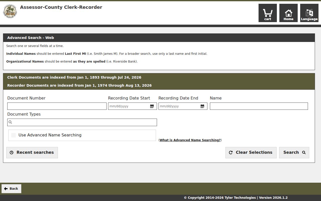
This Wildomar street directory image shows the document route for a known number or date. It is a finding aid. An image or certified copy, not the index alone, controls the recorded instrument.
To copy online, select the document, supply shipping, and pay the 2.15 percent card fee; average processing is 48 hours by mail. Regular or certified copies cost $8 for the first page, $1 per added page, and $2 for certification. In person, choose “In Office,” keep the SST order number, and use an appointment; older research may take days. Mail requests need the document number or title and type, full party names, estimated date, and parcel number. Without a number, pre-1976 staff searches cover two years after the estimate. If the chain ends, take the last grantor, book and page, and legal description to Gateway Riverside or county archives.
Deed Chains Along Wildomar Streets
A deed chain follows recorded interests backward through grantors and grantees. A grantor transfers an interest; a grantee receives it. The recorder's index is organized around names, dates, document types, and legal descriptions, so the APN and a recent instrument are stronger starting points than repeated variations of a street address.
- Confirm the jurisdiction, APN, subdivision or lot-and-block reference in the assessor and GIS records.
- Find a current acquisition instrument with a known party, date, document number, or legal description.
- Write down the grantee, grantor, recording date, instrument number, book and page when shown, and legal description.
- Search the seller as an earlier grantee in an older date window, then repeat the handoff through each prior instrument.
- At the 1974 web boundary, take the last reliable names and land references to Gateway Riverside, deed books, or Fitch Archives.
The county's recording-services information explains the official instrument path and distinguishes an index entry from a copy request. A current owner trail can still miss an earlier household because title evidence tracks recorded interests, not every person who used the structure.
The Riverside County recording-services screen shows why a street directory search may end in an office request rather than one web result.
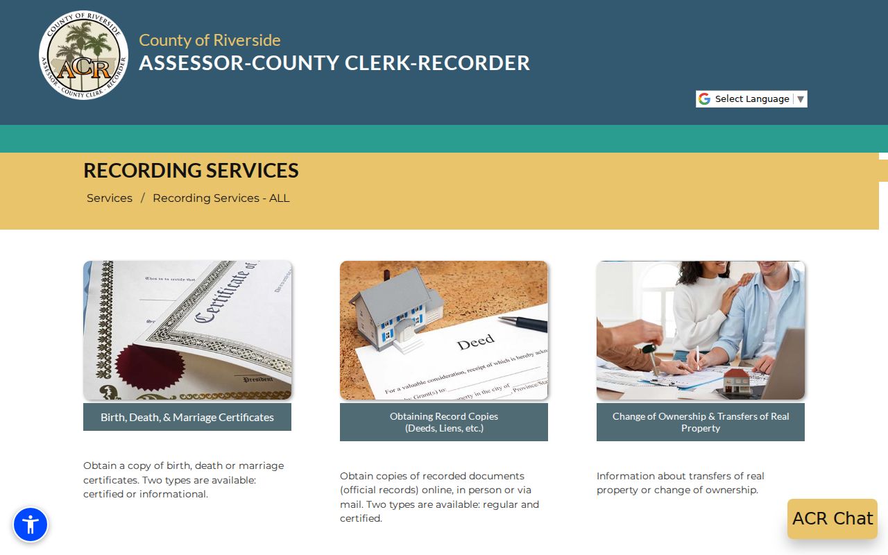
Before the online cutoff, the last known grantor and legal description are more useful to a clerk than a broad address guess. Keep the chain anchored to land identity.
Old Wildomar Maps, New Address Clues
Modern street strings can fail when a search reaches the settlement's early land records. Collier, Graham, and Heald mapped Blocks K, L, and M in January 1885 and recorded them with San Diego County in October 1885. Collier and Graham mapped the townsite in December 1885, and that map was recorded in San Diego County on November 20, 1886. Riverside County was not created until 1893, so a pre-county lot trail can belong to the predecessor jurisdiction.
The city's Historical Maps of Wildomar collection includes an 1887 Wildomar map, a Town of Wildomar map, an 1890 San Diego County map, Sedco Tract No. 1, and street and tract sheets covering Central, Penrose, Cedar, Indiana, Como, Corydon, Santa Rosa, Grand, Palomar, Gruwell, South Pasadena, Olive, Illinois, Maple, and related roads.
The Wildomar historical map collection provides the geometry behind an old-address search.
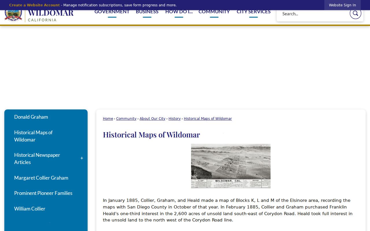
This Wildomar street directory image belongs beside APN and legal-description work. No authoritative street-renumbering chronology was located, so do not invent a change year. Test rural-route, railroad-station, Elsinore-area, tract, and older road descriptions against the map and parcel record.
What the Wildomar Street Directory Cannot Show
A street directory can connect a parcel to recorded owners, project participants, map features, and historical clues. It cannot produce a complete list of household members or non-owner occupants. DMV address information, utility customer names, delivery records, and private household rosters are not ordinary public street records. A permit applicant, contractor, or mailing recipient may have no residence connection.
California My Voter Status is an identity-gated self-lookup for first name, last name, date of birth, and a California driver license or ID number or last four Social Security digits, with a no-ID option. It returns the authenticated voter's result, not a street enumeration. Broader voter-file access is limited to approved election, scholarly, journalistic, political, or governmental purposes under Elections Code section 2194.
Lawful use. Wildomar address records are for personal, lawful research. California stalking law, including Penal Code section 646.9, and related criminal-threat, harassment, and restraining-order rules can apply when address information is weaponized. Do not use records to stalk, harass, intimidate, or harm another person.
Reverse Directories for Wildomar Streets
A reverse or criss-cross directory is the historical counterpoint to the assessor roll. If a verified volume covers the locality, its street-order pages may show an occupant or householder, while the tax record shows parcel facts and an assessment mailing destination. Ownership and occupancy are different evidence tracks.
No official online inventory verifies a complete Wildomar reverse-directory title or year run. The Wildomar Library, at 34303 Mission Trail, opened in 2001 and offers catalog and local-referral help. Ask staff to search Lake Elsinore, Elsinore, Murrieta, southwest Riverside County, telephone books, and reverse-directory titles, not only Wildomar. California residents can obtain a card with current identification or identity plus mailing-address proof. Interlibrary loan can search microfilm, books, and articles for a nonrefundable $5 fee; current digital-library information does not verify specific commercial genealogy products.
The historical volumes and locality checks belong with the Wildomar city directory collections, while the current parcel chain stays with the address record. A missing volume is a coverage gap, not proof that no one lived at the address.
Wildomar ZIP 92595 and City Limits
Wildomar's verified standard city ZIP is 92595, but a ZIP code is a delivery tool, not a municipal boundary. “Wildomar, CA 92595” alone does not prove that a parcel lies inside city limits. Edge addresses can carry a postal place name while a county or another jurisdiction controls planning and permits. Confirm delivery with the USPS ZIP Code by Address tool and jurisdiction with Map My County or an official city boundary map.
The USPS location result identifies the WILDOMAR Post Office at 21392 Palomar Street, Wildomar, California 92595-9998, phone 951-678-9610, with listed weekday counter hours of 8:30 a.m. to 5 p.m. That establishes the serving office, not the city polygon. No authoritative source located a Wildomar PO-box-only or unique ZIP, a ZIP split date, or complete neighborhood subcoverage. Do not add nearby ZIPs merely because they appear close on a map.
For a final street directory check, keep the postal result, parcel APN, situs, legal description, and jurisdiction result together. That set explains why an address can be deliverable as Wildomar while its permit or land record remains a Riverside County record.